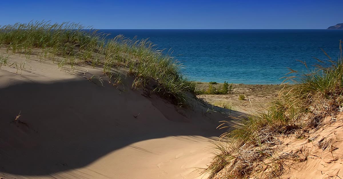
Indiana Dunes National Park hugs 15 miles of the southern shore of Lake Michigan and has much to offer. Whether you enjoy scouting for rare species of birds or flying kites on the sandy beach, the national park's 15,000 acres will continually enchant you. Hikers will enjoy 50 miles of trails over rugged dunes, mysterious wetlands, sunny prairies, meandering rivers and peaceful forests.
Winter Activities
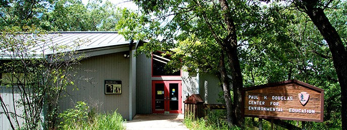
Hiking, cross-country skiing and snowshoeing are popular in the wintertime. If you need snowshoes or cross-country skis, free rentals are available at the Paul H. Douglas Center for Environmental Education for use on the Paul H. Douglas Trail, weather permitting. The best areas to bring your own cross-country skiing or snowshoe equipment include the Glenwood Dunes Trail System and the Tolleston Dunes Trail System.
Beaches and Swimming
Fifteen miles of sandy beach along the southern shore of Lake Michigan offer a wide variety of recreational activities. Whether it's enjoying a summer sunset stroll or marveling at the arctic beauty of Lake Michigan's shelf ice, you can enjoy the beach in all seasons.
There are several beach parking lots along the Indiana Dunes National Park. All beaches and parking lots are open daily from 6:00 am to 11:00 pm and have potable water and restrooms. Additionally, West Beach has showers and lifeguards from the Friday of Memorial Day weekend through the Monday of Labor Day weekend.
Biking
Discover much more than just sand dunes as you bike on an interconnected trail system that spans 37 miles across the entire length of the national park. A wide variety of trails traverse the various habitats and cultural history of Indiana Dunes National Park. The varying lengths make it easy to choose the trail that's right for you. From a short easy ride to a challenging all-day trek, most of the trails are open all year and the experience will change with each season.
Bird Watching
Located at the southern tip of Lake Michigan, the national park is an important feeding and resting area for migrating birds. Lake Michigan influences the migration patterns of bird species. During the fall migration, southbound birds follow the north-south shoreline and are funneled into the Indiana Dunes. The large expanse of open water and miles of shoreline also attract large numbers of wintering birds.

Indiana Dunes National Park provides an excellent opportunity for birders to see a variety of bird species. Birders can observe hawks during migration from the top of a sand dune, watch waterfowl with a spotting scope from the shoreline, or look for wetland birds in remnant sections of the Great Marsh. Whether you have beginner or advanced identification skills, Indiana Dunes National Park is a great place for birders.
The national park plays an important role in the annual Indiana Dunes Birding Festival, which takes place the third weekend in May. This incredible four-day event showcases dozens of birding spots around the region with expert led outings.
Fishing & Boating
Fishing
Fishing is allowed under federal, state and local laws. You need an Indiana Fishing License and a stamp if fishing for trout and salmon. Watch for drop-offs in creeks and along beaches.
Sailing & Power-boating
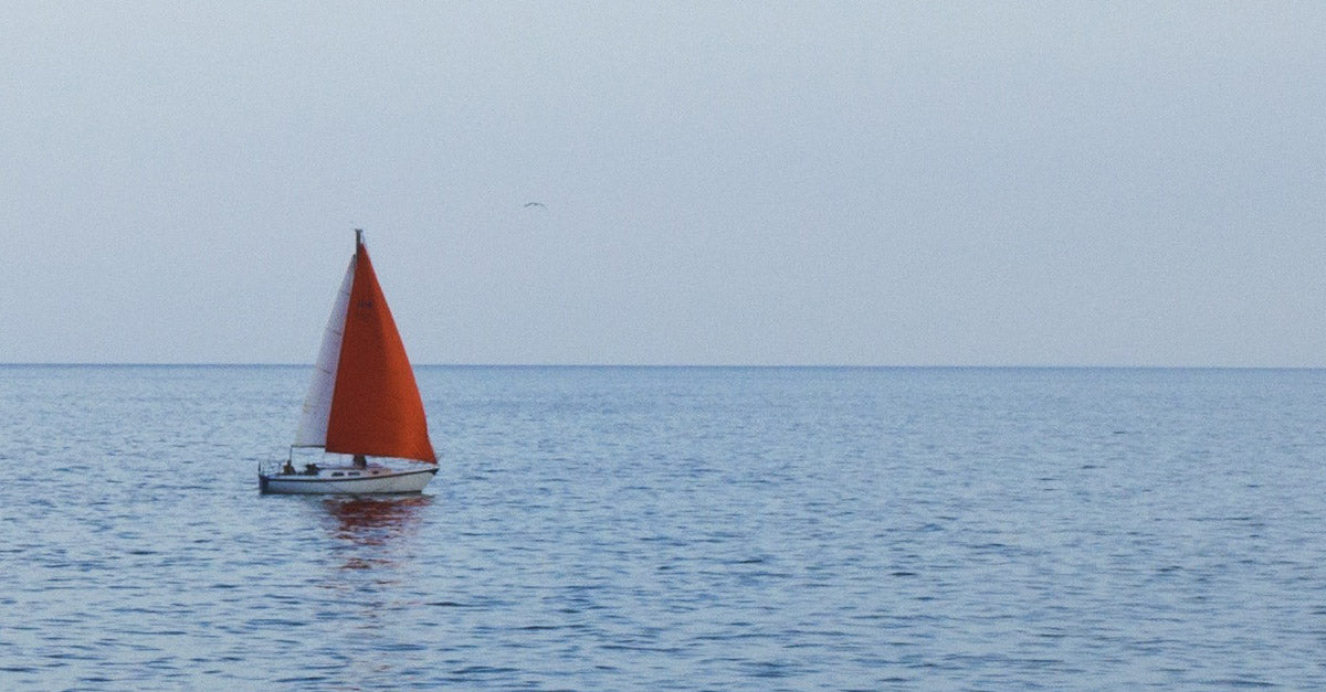
Sailing and power-boating are popular on Lake Michigan. There are no marinas, boat rentals or boat launches within the national park. There are services available through commercial and city facilities in Porter, Lake and LaPorte counties. Check these county tourism links for information.
Kayaking

Kayaking is increasingly popular on Lake Michigan since the inception of the Lake Michigan Water Trail and in area waterways like the Little Calumet River and Burns Waterway. Launching hand-carried, non-motorized boats from any Indiana Dunes National Park beach is permitted with the exception West Beach's lifeguarded swimming area (Friday of Memorial Day weekend through the Monday of Labor Day weekend). Lake Michigan's water conditions can quickly change from calm to dangerous, so check the weather forecast and always use a certified personal flotation device.
Canoeing
Canoeing is also popular on the region's rivers and waterways, but is generally not recommended for Lake Michigan due to frequent windy conditions and large waves. Canoeing is popular on the Little Calumet River.
Hiking
Discover much more than just sand dunes as you hike through 14 distinct trail systems covering more than 50 miles of trails. A wide variety of hiking trails traverse the various habitats and cultural history of Indiana Dunes National Park. The varying lengths and difficulty levels make it easy to choose the trail that's right for you. From a short easy stroll to a challenging all-day trek, most of the trails are open all year and the hiking experience will change with each season.
Indiana Dunes Outdoor Adventure Festival

Spend the weekend outdoors at the Indiana Dunes Outdoor Adventure Festival, which will take place Friday-Sunday, October 2-4, 2020, throughout the Indiana Dunes region. Packed with outdoor adventure opportunities, the festival will bring together over 70 events in one weekend. With support from Friends of Indian Dunes, Indiana Dunes State Park, Indiana Dunes Tourism, and more than dozen other partners, the Indiana Dunes National Park will host this three-day event.

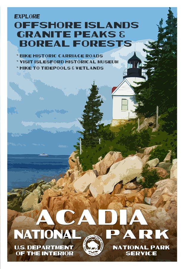
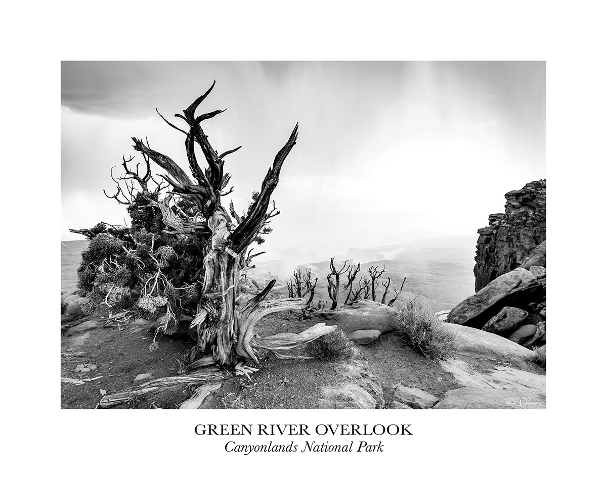
Click here to see the Indiana Dunes National Park poster.
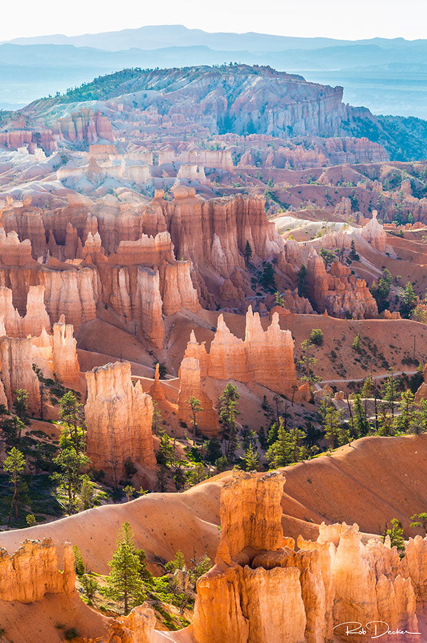
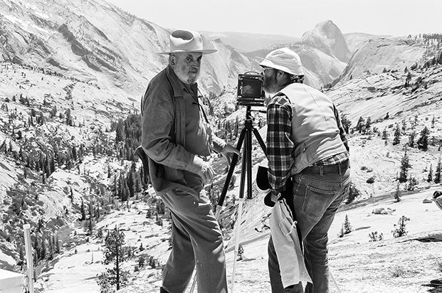
Rob Decker is a photographer and graphic artist who had the rare privilege of studying under Ansel Adams in Yosemite National Park when he was just 19 years old. Now, Rob is on a journey to explore and photograph all 61 of America's National Parks. He's creating WPA-style posters to help people celebrate their own national park adventures -- as well as encourage others to get out and explore!
Source:
https://national-park-posters.com/blogs/national-park-posters/best-things-to-do-at-indiana-dunes-national-park